For credit card payments please select in store pick up/pay at store and you will be contacted for payment/shipping info!
Close this alert
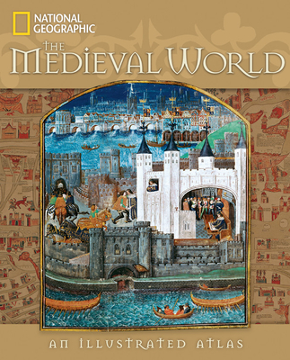
Sumptuously illustrating the vivid parade of a thousand years of history, this comprehensive historical atlas concentrates on the Mediterranean world but also shows what happened across the globe between A.D. 400 and 1500 —from the fall of Rome to the age of discovery. Every page glistens with period works of art, fascinating maps, quotes from medieval figures, close-ups of intriguing artifacts, and rich landscape photographs of the places where battles were fought and monarchs were crowned. For every century, a signature city is spotlighted to represent that era's developments. Time lines connect the many dramatic events that took place in these dark and exciting times, which continue to shape our world today. Written by a team of veteran National Geographic writers, this richly illustrated reference includes full index, reading list, and glossary.
“Let’s get serious here – but not dull. You don’t have to be in love with the past to be riveted by this fact-filled look at the vibrant time period some us still call the “Dark Ages,” …every page has something interesting – timelines, beautiful pictures, maps and sidebar tidbits, …This hefty book will feed brains depleted by too many butter cookies.” –St Paul Pioneer Press
“This book is beautifully and lavishly illustrated with period art, architecture, documents, maps, artifacts and sculpture, as well as photographs of specific locations…a feast for the eyes…Given the scope and the beauty of its pages, this book would be ideal for the historian in the family.”
–Pittsburgh Post-Gazette